Western Walks – Lanthwaite Hill
Distance: 4.0 miles
Ascent: 400 feet

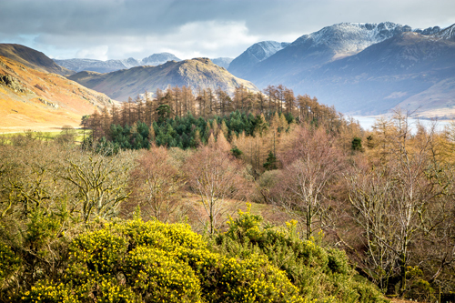
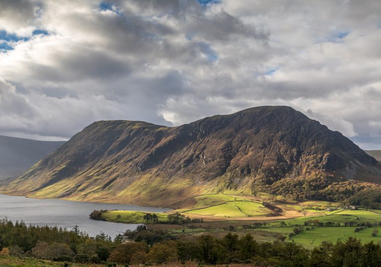
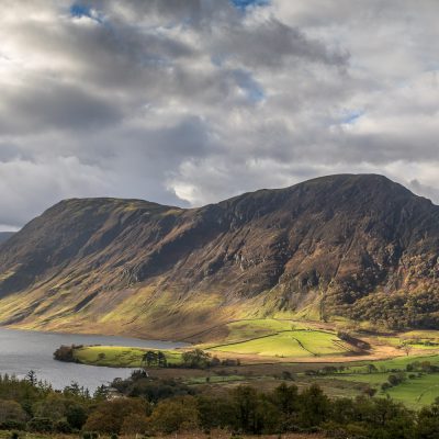
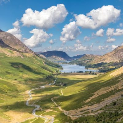
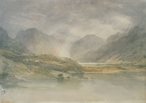
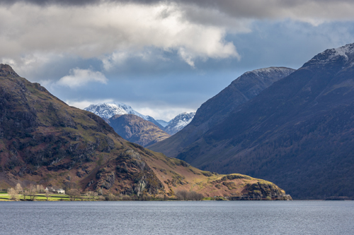
Brackenthwaite Hows is one of the Lakes’ most breathtaking views and inspired a JMW Turner watercolour on his first visit to the Lake District in 1797.
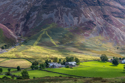
This short walk has been popular since and is renowned for its views, bluebells, wildflowers, wildlife and history.
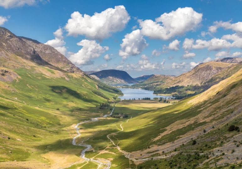
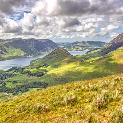
Lanthwaite Hill is shown on the Ordnance Survey map as Brackenthwaite Hows and is a stunning alternative for those not inclined to head to the top of the fells. The easy access means if you only ever do one lake district walk, it should be this one because the short ascent offers 360-degree views that include the Buttermere fells, Crummock Water, the rocky buttress of Grasmoor, Lorton Vale and views back towards Loweswater.
Once you park in the National Trust car park at Scale Hill you’ll be faced with the toughest part of your journey. Do you summit quickly or head to Crummock first and finish with the famous view?
If you want the views first, ignore the obvious track and turn left up a steepish path through Lanthwaite Wood. At a junction, turn left again to continue uphill and climb the steep rocky staircase.
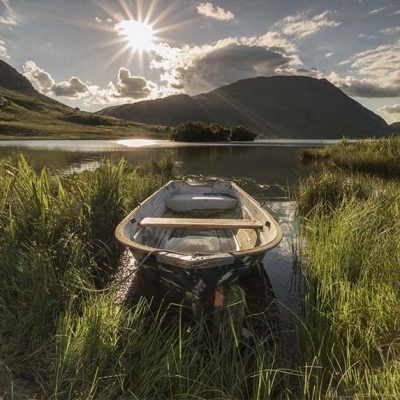
Leave the woods via a deer gate and you are soon at the top of the hill. You can then follow the easy path through Lanthwaite Wood to the eastern shore of Crummock where you can follow the path to the foot of the lake and the source of the River Cocker. From here you can take a brief detour to a pumphouse, wander along the banks of the River or opt for the track which will have you back at your car in 5 minutes.
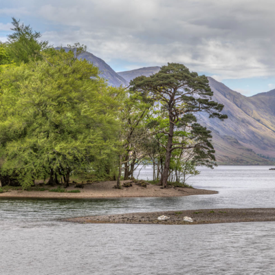
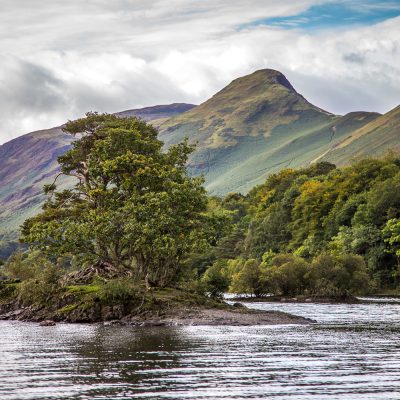
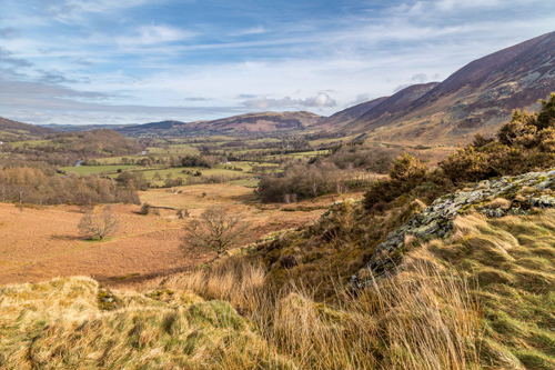
Going the other way, a slightly longer route takes you along the footpath that runs alongside the river all the way to Crummock Water and a wonderful viewpoint. Follow the track along the left-hand side of the lake through Lanthwaite Wood and into the very different High Wood.
The lakeside path passes through two large fields and enters a narrow field filled with gorse bushes. Follow the path to the far end, turn left and follow the grassy path up to the higher side of the field. Staying in the field, turn left and follow the path along the upper edge of all three fields back to High Wood.
Here a gate leads onto a road, cross over and head across the hillside towards Grasmoor End (look for a suitable path through the bracken). This brings you to a major path across the hillside, turn left and follow it to Liza Beck.
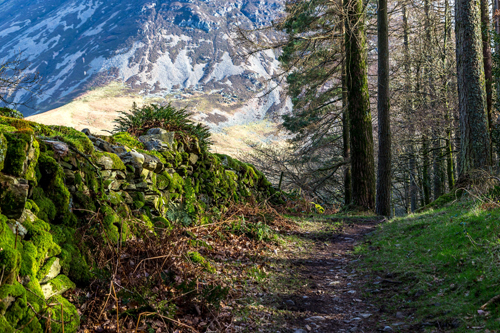
Take a left at the beck and head down the line of an old drainage ditch towards the Iron Age homestead. Continue towards the road you crossed earlier. Turn right at the road then left at the next signposted footpath. It runs along a narrow lane between stone walls and leads to the edge of Lanthwaite Wood.
Just inside the woods take a right onto along the narrow footpath that climbs onto Brackenthwaite Hows. Here is the famous ‘viewing station’ for Victorian tourists.
There are two summits, follow the path to the second and curve away to the left along a ridge that leads to a stile and the woods. Follow the path as it drops down Dick Robins’ Steps and onto a forestry track. Turn left at the track, then right at the next junction to return to your starting point.
This walk is suggested by Andrew Locking who is a keen local fell walker. For more information on his walks visit www.andrewswalks.co.uk
Photos by Andrew Locking