
MILE FORTLET 21: A lesser-known Roman relic with a commanding view and a fascinating story
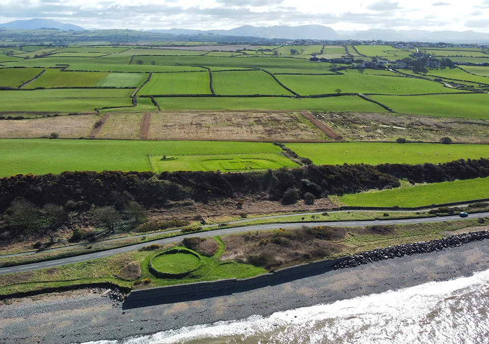
MILE FORTLET 21
A lesser-known Roman relic with a commanding view and a fascinating story.
by Jonathan Fraser, Cumbria and the Borders History
A short walk from the seaside village of Allonby stands Milefortlet 21, set proudly on a hill with a good view over the Solway.
This is part of a series of fortlets built by the Romans along the Cumbrian coast, 1 Roman mile apart from each other. The Romans were so strict with the spacing of the fortlets that Mile Fortlet 21 wasn’t built on the brow of the hill, which would’ve offered the best vantage point, despite this being only 20 metres or so away from where the fort was built.
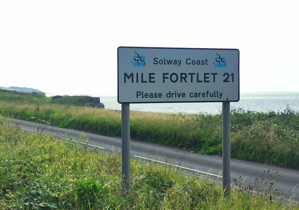
Milefortlets were built along the Cumbrian coast to protect it from any potential attacks or raids, from which it was vulnerable. Being so close to Scotland, it would have been an easy route for would-be attackers to bypass Hadrian’s Wall.
Similar to the milecastles of Hadrian’s Wall, each fortlet had two associated towers, 21a and 21b being the two towers connected with Mile Fortlet 21. The only obvious difference these towers had to those on Hadrian’s Wall was that they weren’t connected by a wall.
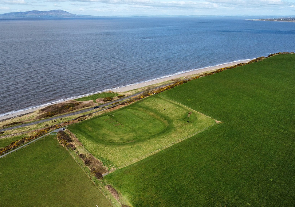
Nothing remains of Tower 21a today, although the dismantling of the remains before WWII was witnessed by a sandpit worker. It was located close to Crosscanonby Road. 21b was located on the seaward slope of Brown Rigg Hill. Nothing is visible above ground but crop marks appear on aerial photographs, first appearing on an RAF photograph in 1946. It was excavated in 1966.
“Mile Fortlet 21 is a bit of a hidden gem, which to some looks inaccessible, offering great views of the Cumbrian coast.”
The coastal defence system started at Bowness-On-Solway, where Hadrian’s Wall ended, and continued onto Maryport and Senhouse Fort, before ending at Ravenglass. This defence system was built around the same time as Hadrian’s Wall but it’s lifespan wasn’t anywhere near as long. By the end of Hadrian’s reign in 140AD, the milefortlets seem to have been abandoned.
Although there are remains of milefortlets between Port Carlisle in the north and Maryport further south, Mile Fortlet 21 is the only fully excavated fortlet. The turf banks were rebuilt at the time to give an idea of the scale of the structure. The Fortlet is around 15 x 18 metres in size; it had two gates, a central passageway and two barracks either side, a typical layout for a fortlet.
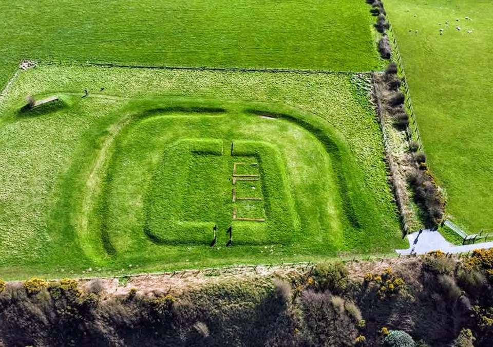
Mile Fortlet 21 is a bit of a hidden gem, which to some looks inaccessible, offering great views of the Cumbrian coast. It is an often overlooked area of importance to the Romans due to the popularity of Hadrian’s Wall.
You can get there by either walking along the cycle path from Allonby to Maryport (approximately 1.5 miles) or there are some smaller car parks nearby. It is accessible via a public footpath. On the other side of B5300 is the Saltpans, another site of historical interest.
www.facebook.com/BordersCumbriaHistory

To learn more about what’s happening, follow Cumbria Guide on our social media
Share It:






Really enjoy your articles! Where can people in Millom get a copies of Cumbria Guide?
Hi Susan, great to hear you’re loving the mag! The post office in Millom always get a few boxes in stock, as does Tesco, Museum and the shops! They’re free, so just pick one up when you’re next in 🙂